I decided to make a quick trip last weekend to the Colorado
National Monument to get some hiking and camping in before the tourist season
ramps up and just to get away and relax.
I’d been looking over the park and trails for a little over
a week prior to the trip and decided that the Upper/Lower Monument Canyon Trail
and Wedding Canyon trail where a must do. So Saturday morning that’s what I
did.
Coke Ovens at the beginning of Upper Monument Canyon trail
while coming down the switchbacks on a 600’ descent.
A view of Kissing Couple, Independence Monument and the
Island.
Close-up of Independence Monument.
Lower portion of Monument Canyon was pretty uneventfully as
was the hike back up wedding canyon besides watching some folks getting to
repeal down one of the cliff faces and walking along the fence line that
divides the park from the residential area that borders the park. Kind of felt
like I was being held prisoner being on the opposite of the fence with
constantine wire atop the fence.
The view of the Island, Independence Monument from Wedding
Canyon trail.
I would like to say I hiked the trail without any problems
but the hike back of the switchbacks took a toll on me and I had to stop
multiple times to stop and reset.
Once back to the trail head I head back to the one and only
campground in the park to grab some lunch, rest and plan my afternoon.
While researching the area prior to the trip I came across
an area known as Rattlesnake Canyon which contains a number of arches just
outside of the park and didn’t seem like it was visited very often due to it’s
remotest and road conditions, which made it a perfect candidate to get away
from the crowds in the park.
The view coming down the first set of switchbacks.
Once at the trail head I grabbed a view of the map of the
area to see where I needed to go and headed out.
The view along the trail.
Now I’ll admit I got lost at first and ended up hiking the
top of the plateau as the sign pointing the way down to the lower trail was
nothing more than a post since the arrows had fallen off some time ago.
I’m supposed to be down there somewhere?
This arch is either the first or last arch depending on
which way you take on the trail. The trail is supposed to end at the bottom of
this arch and you have to go back the way or you take your chance and
scale/work your way the face of the rock laying below it (the BLM doesn’t
recommend that you do this because well you might hurt yourself in the
process).
I did eventually find my way down to the lower trail with
views of the arches.
I wonder what else lies in the canyon below.
Here is the view of the bottom of arch that I previously
mentioned that’s either the first or last arch that you reach.
Now I’ll admit I did ultimately climb back up this area
(after a lot of debate) to reach the first trail head again due to the time of
day and still being a bit tired from the morning hike. After making the climb
back up I caught by breathe and headed back to car to head back to camp.
Saturday morning I was up early to
finish driving the road though the park to the east gate on my way to my
designation along the Escalante Rim Trail.
The view of Ute Canyon and Red
Canyon (I believe) from the Ute Canyon View Point.
The goal for today was to head to
the Walker and Palmer Smith Cabins along the Escalante Canyon Road then back
along the Escalante Rim trail before heading back home. Had I had more time I
would’ve complete the Escalante Canyon Road and taken Dry Mesa Jeep Road back
to the rim trail.
Palmer Smith Cabin (no photos of
the one cabin due to it’s vicinity to the fence).
The second cabin at the site.
After touring the cabins I quickly
got back in my vehicle and split due to the herd of cows that were coming down
the road and headed to the Ute Petroglyphs at the intersection of the Dry Mesa
Jeep road and Escalante Rim trail.
Unfortunately, due to other folks
wanting to scratch their names into history a lot of the petroglyphs are
difficult to find and was only to find a couple of them.
After finding what I could of the
petroglyphs I head back out to Delta via the Escalante Rim trail then to start the 5 hour drive back home.
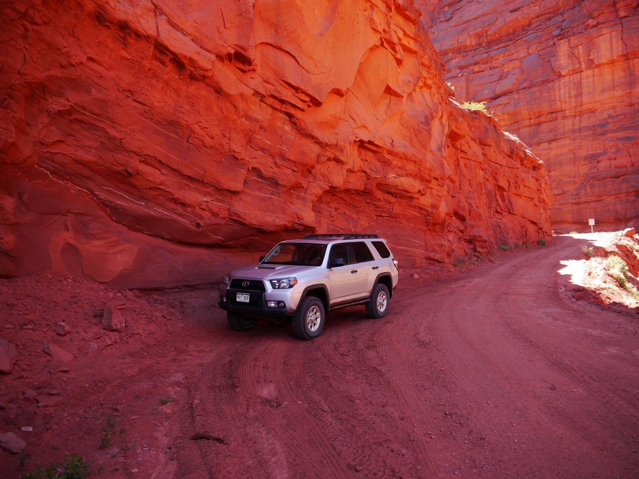
Dry Mesa Jeep Road in the background.
The final view along the way home
from Monarch Pass.
Despite being a quick weekend trip
it was well worth the drive to visit those areas. Just wish I had a little more
time to explore.


.jpg)
.jpg)
.jpg)
.jpg)
.jpg)
.jpg)
.jpg)
.jpg)
.jpg)
.jpg)
.jpg)
.jpg)
.jpg)
.jpg)
.jpg)
.jpg)
.jpg)
.jpg)
.jpg)
.jpg)
.jpg)
.jpg)
.jpg)
.jpg)
.jpg)
.jpg)
.jpg)
.jpg)
.jpg)
.jpg)
.jpg)
.jpg)
.jpg)
.jpg)
.jpg)
.jpg)
.jpg)
.jpg)
.jpg)
.jpg)
.jpg)
.jpg)
.jpg)
.jpg)
.jpg)
.jpg)