This last weekend (July 16-17) I headed on down to Bryce Canyon to meet up with my singles ward (LDS/Mormon thing)for a couple of days. They had been in the area for a couple of days already camping at Pine Lake just north of the canyon and exploring the surrounding area. The last time I was in Bryce Canyon was over 12 years ago on a family vacation when we took a mule ride in the canyon. So this was a good chance to get back down there and explore the area.
So the plan was to hit up one of the longer trails in the area, you know one of those 8 mile hikes with the hope that some other people would want to come along before it go to hot out (wanted to hit up the trail around 830am). Well, that didn't pan out so well. The previous day the group did a short hike (just a little over three miles) in the area and no one really wanted to do it again. Something about the the trail being to long and too hot (then again they did about 1 in the afternoon).
Wanting to be a team player (I get some guff for this sometimes it seems) I hung around camp till about 1030 am (2 hrs. later than I wanted, then again I was on Mormon standard time) and was able to get two other people to come along. One of the leaders and his wife to do the same hike they did the previous day. After making some lunch to take with us we were off.
The trail itself consisted of Sunset Point/Rim trail, Queen Gardens trail and a portion of the Navajo loop. The up portion of the trail was packed with tourist most from other countries (its kind of fun to guess where they are from) but once you started down on the trail the traffic died off, with an occasionally group here and there. The weather in the canyon it self wasn't too bad, yes it was a little hot but when the wind came up it bought with it a nice breeze.
Having not been the in this portion of the canyon before I was kind of surprised how vivid some of the colors where especially for being mid-day and I could only imagine what it would be like at sunrise or sunset. Hopefully, my photo's can show some of this.
Bryce Canyon


The dork behind the camera

Well, after having explored that portion of the canyon and eating lunch it was back to camp. For a short break before heading off to Powell Point. Again, I tried to wrestle up some people to come along (those who were at camp)but with no takers I was off by myself.
Powell Point Area:


Playing around with my camera settings


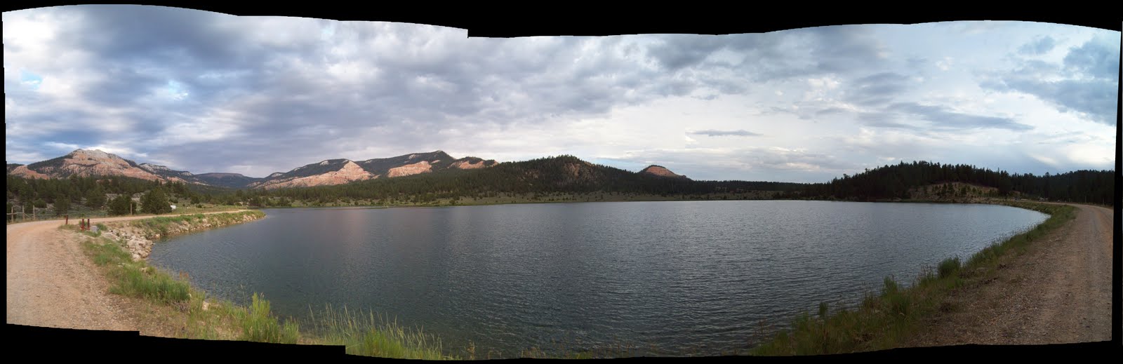
Pine Lake (sorry, crappie panoramic)

Saturday there was nothing really plan it was more or less break-up camp and head from. Well, for most. For me it was off to Red Canyon. In all the visit that my family had taken to the area this was an area that we never stop at. So I wanted to explore it. After a quick rest stop at the visitor center and a quick look at the map I decided to hit up Losee Canyon about a 3 mile hike one way that meets up with two other trails at it's end.
Finding the trail itself was pretty straight forward just head down a gravel road for about 2 miles till you come to the turn off for the parking area. The trail was pretty marked/worn due to foot/mountain bike and horse use. In the bottom of the canyon is a wash/creek bed that you cross about a half dozen times along the way, some of which does get a little hard to tell where the trail is at times. For being a 3 mile long trail the elevation was too bad and there is plenty of shade to stop under to cool down.
Again I was on this trail about 1030 am.
As I neared the end of the trail I could hear the boom of thunder off in the distance and the clouds that were looming over head had started to get darker and larger. Since I was near the end I decided to finish the hike then take a quick break to cool down (explored the horse corral a bit) then make a B-line back to my car. I didn't really feel like get stuck in the canyon in the case of a flash flood.
Right as I start back I on the trail I heard the sound of tumbling rocks to my left, just to look over to see some rocks and dust coming down. I couldn't see want cause it and the only other people on the trail was a group on a horse back tour that I past at the beginning of the trail. Not wanting to stay around I picked up the pace a little more. However, about quarter of a mile down the trail I hear the sound again. So I picked up a large pointed stick that stayed with the rest of the time (no knife on me and I don't own a gun). Fortunately, I didn't hear that sound again for the rest of the way but the sky was getting darker.
By the time I made it back to my car it started to rain with some more thunder to be heard. So after a quick break I was off again headed for home.
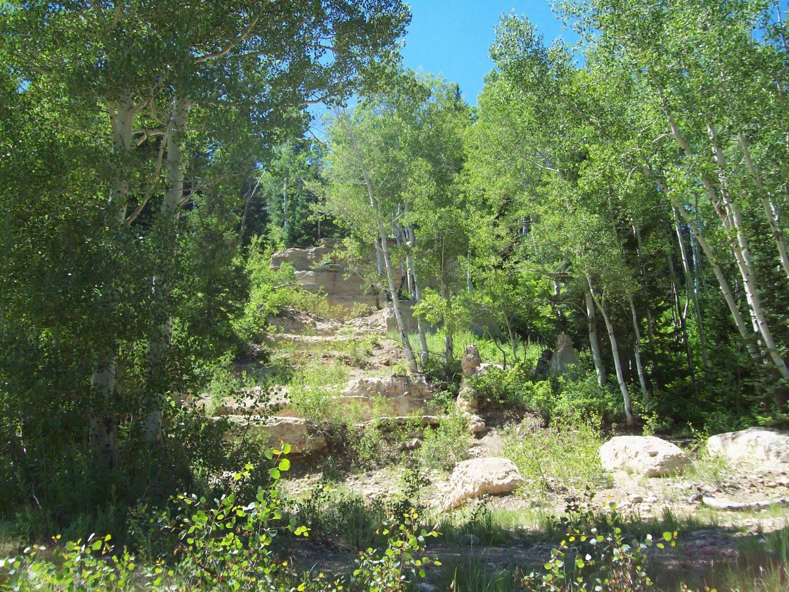
Losee Canyon


The trail